 |
| Walking over to investigate a possible moraine near Glossop |
 |
| View up towards Whin Hill |
Just looking up at the upland plateaus, which reach over 500 m, it is hard not to envisage snow collecting there, and an ice-cap forming. But finding evidence of an ice-cap can be a bit like looking for a needle in a haystack! This is because, as research in Norway, Iceland and Arctic Canada have neatly demonstrated, any ice-cap that might have formed is more likely to preserve, rather than modify, the underlying landscape because the ice would have been thin, slow-moving and cold. Often the only evidence of ice having existed is in the neighbouring valleys, where ice has spilled-off the plateaus forming small glaciers. Here ridges of sediment (moraine) can be carried to the snout of the glacier, meltwater channels eroded along its sides, and the rock scratched and smoothed in the process.
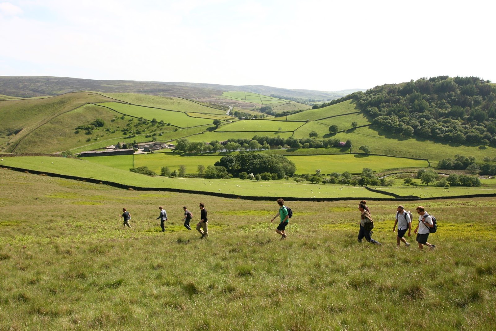
The problem is complicated further in the Peak District, because the landscape has been heavily influenced by other processes. For instance, glacial landforms might have been buried by large landslides, which in turn can look very similar to moraine. The Peak District also has a long history of human activity, which has modified the landscape in its own ways. To take one example, as rock was carried from small pits to build drystone walls and farm buildings, it wore tracks in the ground that look remarkably similar to how we'd expect channels cut by meltwater to look.
So much for the problems; here's what we propose to do. During the course of this project we will be mapping Peak District landforms from airborne imagery; walking the region to double-check our conclusion; collecting samples to determine the age of the landforms; even running a computer simulation to see if we can reproduce the ice-cap from past climate conditions! We will record our successes - or otherwise - here, so stay tuned for further updates.
 |
| The team standing in a pit and looking down a sledge track used to build the farm in the near distance. |
Steve. Was just in Hathersage for ‘hols’ and became quizzical about rthe late Weichselian boundary in central England. Stumbled onto this blog! Looks like there’s still work to do in England! The Weichselian boundary is also diffuse in Wisconsin in places (more extensive cold-bed glacier leaving little geomorph).
ReplyDeleteGood luck with your work there!
Mark Johnson